
鲁朗林海
Lulang Forest and Valley
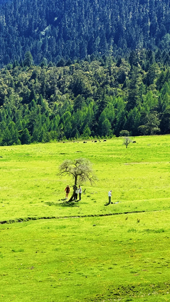
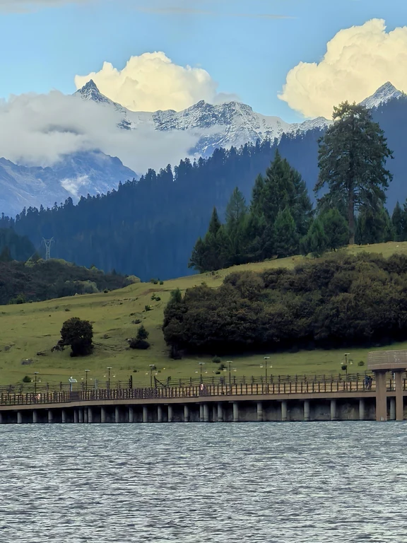
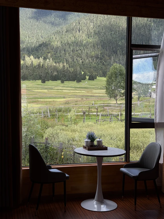
Lulang connects spruce and fir forests, meadows, farmland and villages on important transportation lines in southeastern Tibet. The viewing point shows how abundant water vapor supports dense forests under the high snow ridges, while the valley itself is still a land of human life and production. "Natural oxygen bar" is just a metaphor and not a medical conclusion. You still need to adapt to the altitude and pass through the pass with caution.
Show a driver
鲁朗林海
Lulang Town and Sejila Mountain Corridor, Bayi District, Nyingchi City
Before you go
Check the essentials before you visit
- Booking
- Advance booking recommended
- Admission notes
- Managed viewpoints and scenic areas may be ticketed separately; route access changes with weather
- Suggested visit
- 4 hr
- Information updated
- 9/29/2026
Hours, prices, booking rules and ID requirements can change. Confirm them with the attraction before booking or setting out.
Opening hours
Confirmed opening hours are not available on this page. Check opening and last-entry times with the venue before setting out.
Getting there
Use compliant vehicles or verified public transportation via the current G318 route. The weather changes quickly at Sejila Pass and anti-skid equipment may be required in winter.
Practical notes
Use marked viewing spots, don’t cross pasture fences, don’t collect fungi, and check forest fire regulations. When livestock slows down, drivers will never be urged to overtake on foggy mountain roads.
Where next?
Save places you like, then use your saved list to build a trip.


