
 Aba
Aba若尔盖湿地开放线路
Ruoergai Wetland Open RouteExplore places
Browse a mix of cities, or choose one city to see its places in editorial order.
Aba若尔盖湿地开放线路
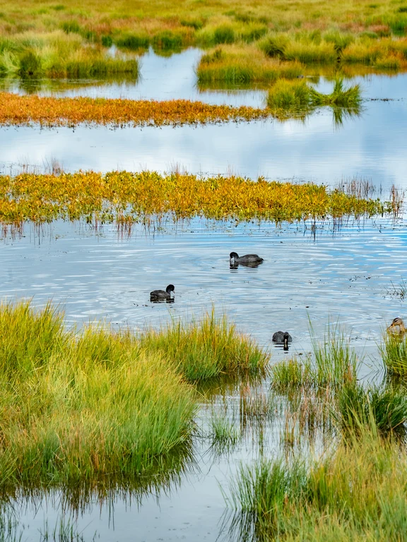
Ruoergai Wetland Open RouteZoige preserves peat wetlands, meandering streams, grasslands and bird habitats on the plateau. Open roads and boardwalks must be used as driving into meadows can compact peat, damage pasture and create rescue risks.
Explore Aba ↗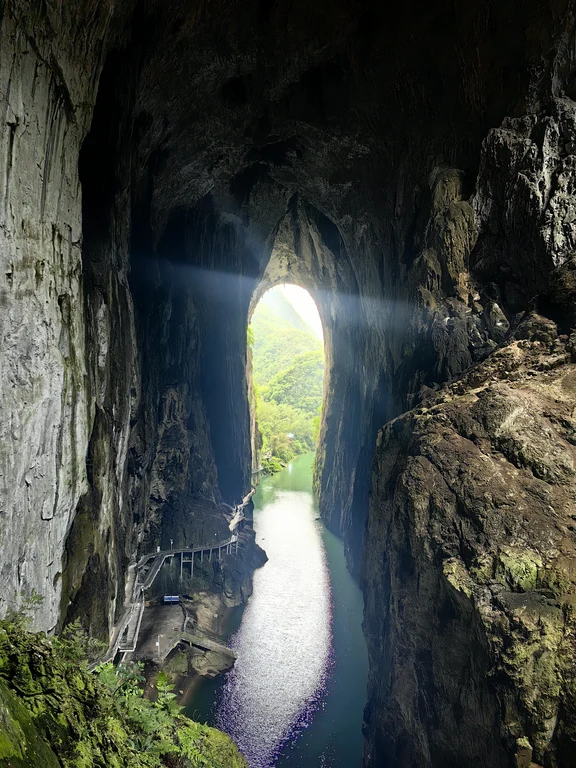 Anshun
格凸河景区
Getu River Karst LandscapeThe Getu River passes through remote karst landforms, with huge cave entrances, cliffs, underground passages and Miao villages connected to each other. Boating and walking can bring out the scale, but water levels and falling rocks can quickly change access; local climbing traditions need context rather than being treated as guaranteed spectacles.
Explore Anshun ↗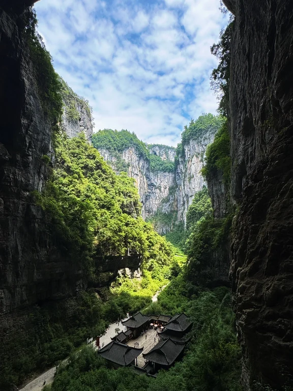 Chongqing
武隆喀斯特
Wulong KarstWulong is part of the Karst World Natural Heritage in South China. The high-level inland karst has been uplifted and eroded to form huge sinkholes, natural bridges, canyons and caves. Landscapes such as Tiansheng Sanqiao can intuitively represent the geological scale, but Wulong's scenic spots are distributed in vast mountainous areas and are not a compact park.
Explore Chongqing ↗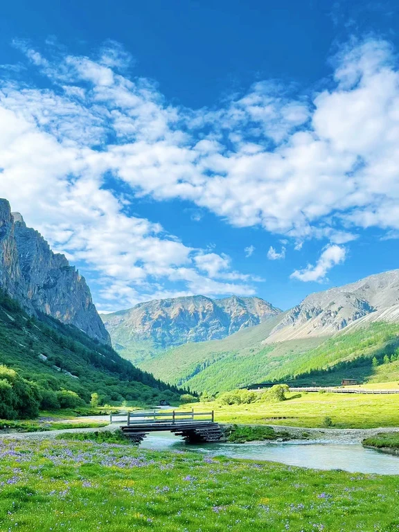 Daocheng
洛绒牛场
Luorong PastureLuorong Cattle Farm is located at the foot of three sacred mountains. It is an open high valley composed of meadows, waterways and seasonal pastures. It is both a destination and a decision-making point whether to continue challenging the difficult route above. The boardwalk makes the environment look relaxed, but the altitude pressure is still high and weather can obscure the view in minutes. This pasture has both productive and sacred significance, and is not an empty stage that can be traversed at will.
Explore Daocheng ↗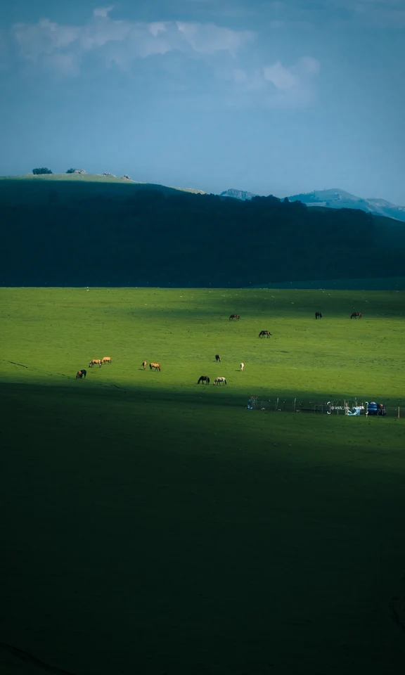 Hulunbuir
呼伦贝尔大草原
Hulunbuir GrasslandHulunbuir Grassland is a production, life and ecological landscape spanning a vast area, not a unified and enclosed scenic spot. Pastures, wetlands and villages and towns have their own access boundaries; public roads should be used, and no driving into pastures without permission, no chasing livestock, and no guarantee of the same green scene in any season.
Explore Hulunbuir ↗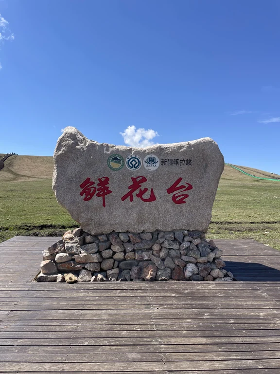 Ili
Ili喀拉峻草原
Kalajun GrasslandThe undulating alpine meadows, deep valleys and snow-capped mountains of the Kalajun Mountains in the background demonstrate the combination of ecology and long-term pastoral utilization of the Western Tianshan Mountains. The scenic area is large and wet soil is highly susceptible to damage, so legal viewpoints and managed trails should be used rather than temporary ruts.
Explore Ili ↗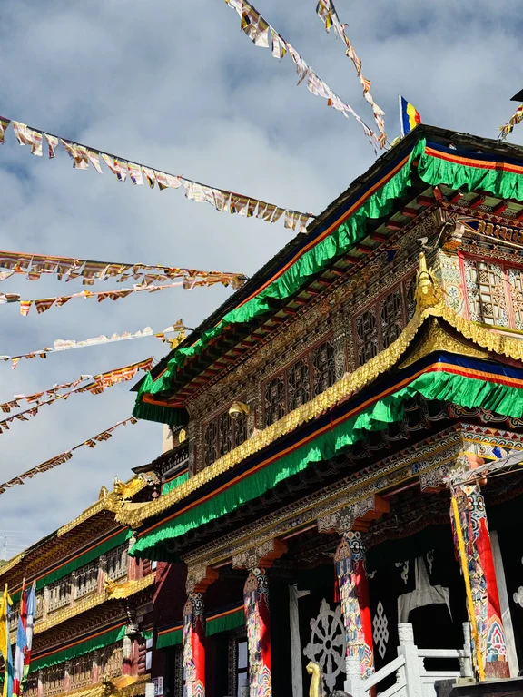 Kangding
塔公寺与草原
Tagong Temple and GrasslandTagong combines living temples, towns and production pastures under the peak. Religious activities, grazing and residential traffic continue, photography and entry require consent, and the grasslands cannot become off-road playgrounds.
Explore Kangding ↗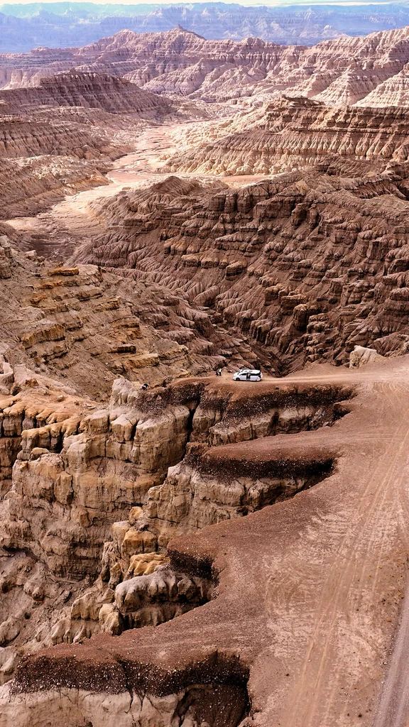 Ngari
Ngari札达土林
Zanda Earth ForestErosion has carved the sedimentary layers of the Zada Valley into huge earthen towers, ravines and mesas. They are geologically unstable and not climbable sculptures; marked pathways and viewing platforms protect both visitors and the landscape.
Explore Ngari ↗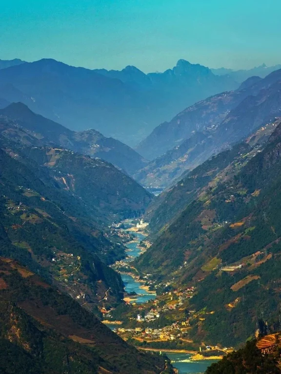 Nujiang
怒江大峡谷
Nujiang Grand CanyonThe Nujiang Grand Canyon is a real transportation and community corridor along a long river and mountains, not a single observation deck. The risks of landslides, rockfalls and mudslides are prominent during the rainy season. Roads should be confirmed section by section, avoid driving at night and climbing along rivers, and respect villages, farmland and religious spaces.
Explore Nujiang ↗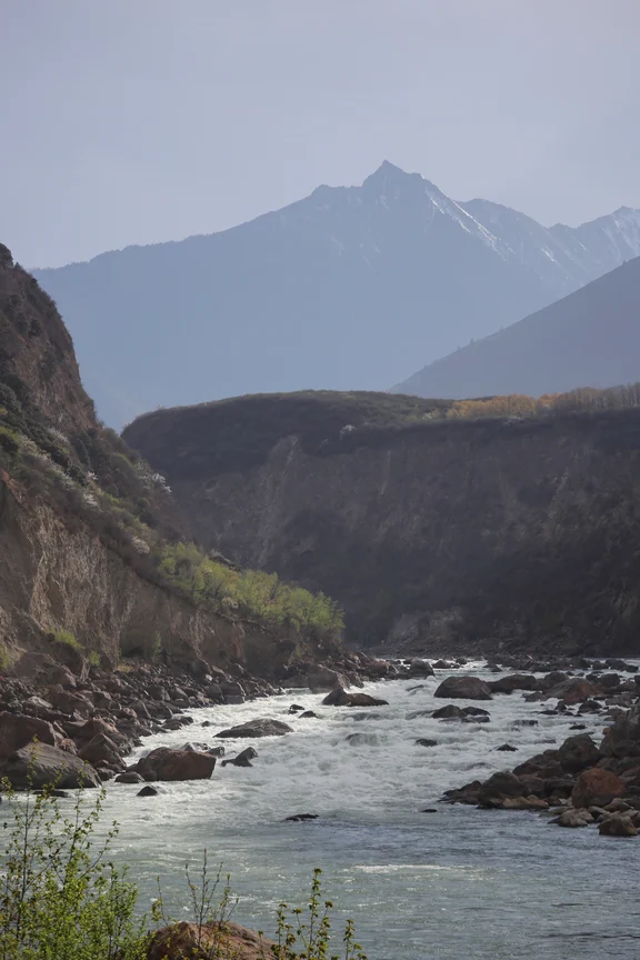 Nyingchi
雅鲁藏布大峡谷
Yarlung Tsangpo Grand CanyonThe Yarlung Zangbo River turns around the Namjagbarwa Peak, forming one of the deepest river canyon systems in the world, compressing huge changes in altitude, climate and vegetation in a short distance. The open viewing points and village stations only show accessible entrance sections, and the remote inner canyon is not an ordinary hiking destination. The scale of rivers, tectonic relief and inhabited river valley landscapes are more important than superlative slogans or a single photo of a snowy mountain.
Explore Nyingchi ↗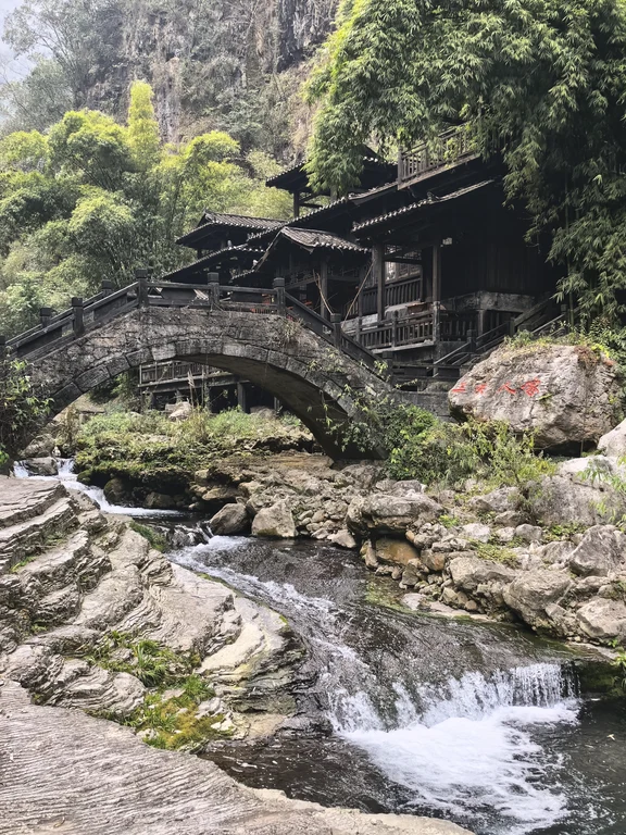 Yichang
三峡人家
Three Gorges People Scenic AreaThe scenic spot combines the Xiling Gorge riverside cliffs and tributary trails with displays of Tujia culture. Ferry transfers and slippery steep roads dictate passage, and performance programs cannot be equated with the totality of contemporary community life.
Explore Yichang ↗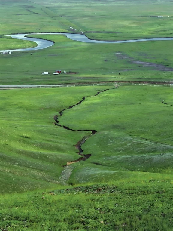 Hulunbuir
莫尔格勒河草原
Morigele River GrasslandThe Morgrad River meanders through vast meadow grasslands, its appearance changing with precipitation, grazing and the seasons. From the formal viewing point, you can see the meanders of the river and the scale of the grassland. In addition to the tourist facilities, animal husbandry production and Mongolian cultural life continue. Designated routes must be used: ruts can compact soil, cut vegetation, and disturb livestock, and no photos will justify trespassing on the prairie.
Explore Hulunbuir ↗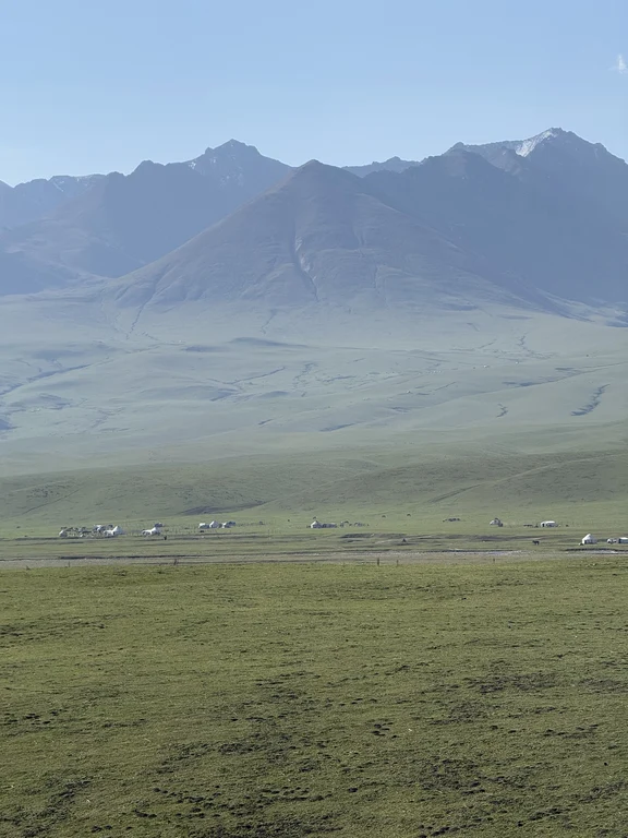 Ili
Ili那拉提草原
Nalati GrasslandNalati is located in the high mountain valley of the Tianshan Mountains. The river steps, spruce slopes and summer pastures form different tourist routes. This is still a Kazakh pastoral production landscape, and livestock migration is as important as seasonal grazing and viewing spots; the flowering period, snow peak clarity and grazing scenes all change with the weather seasons.
Explore Ili ↗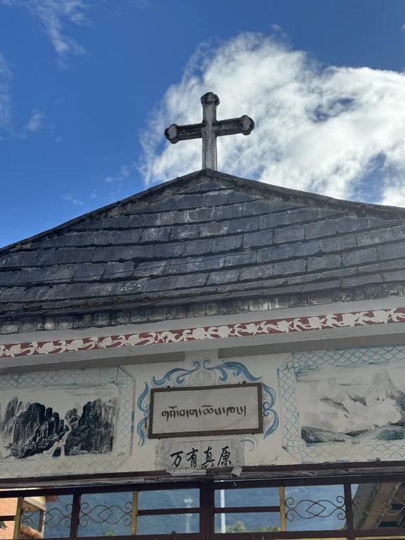 Nujiang
丙中洛河谷
Bingzhongluo ValleyBingzhongluo is located at the northern end of the canyon, forming a rare open basin between steep mountains. Tibetan, Nu, Lisu and other communities, fields, churches, temples and ancient roads coexist here; this is a scattered living township, not a single scenic spot entrance.
Explore Nujiang ↗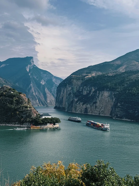 Yichang
长江三峡
Three Gorges of the YangtzeThe Three Gorges of the Yangtze River is a long-distance cultural landscape composed of canyon landforms, shipping, water conservancy projects, relocation heritage and riverside communities. Different rules apply to cruise ships, highways and shore scenic spots. Water levels and weather will also change the experience. Natural gorges, engineering facilities and performative displays should be distinguished.
Explore Yichang ↗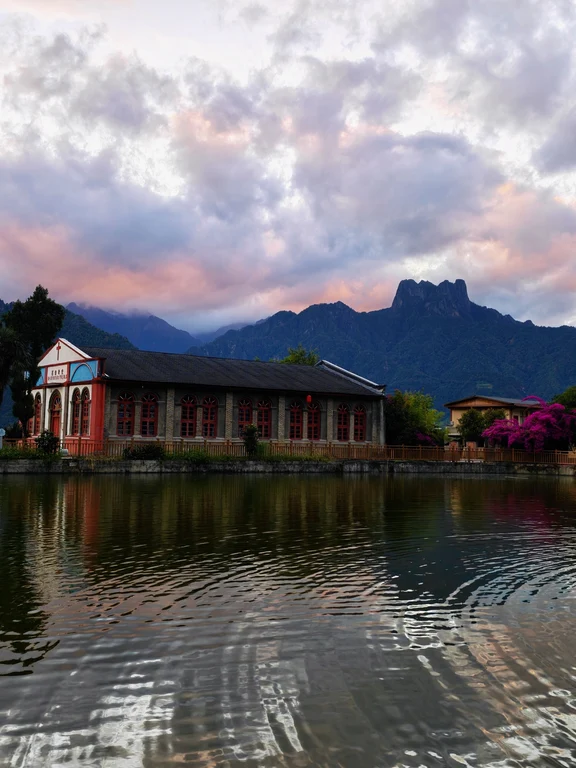 Nujiang
老姆登与知子罗
Laomudeng and ZhiziluoLaomudeng is located in the Nu community landscape high up in the canyon, adjacent to Zhiziluo where the buildings from the old administrative center period are preserved. Views of the river valley coexist with memories of church life, farming, and changes in the 20th century; neither site is an abandoned set.
Explore Nujiang ↗That’s every place. Hope one stays with you.