
 Aba
Aba若尔盖湿地开放线路
Ruoergai Wetland Open RouteExplore places
Browse a mix of cities, or choose one city to see its places in editorial order.
Aba若尔盖湿地开放线路
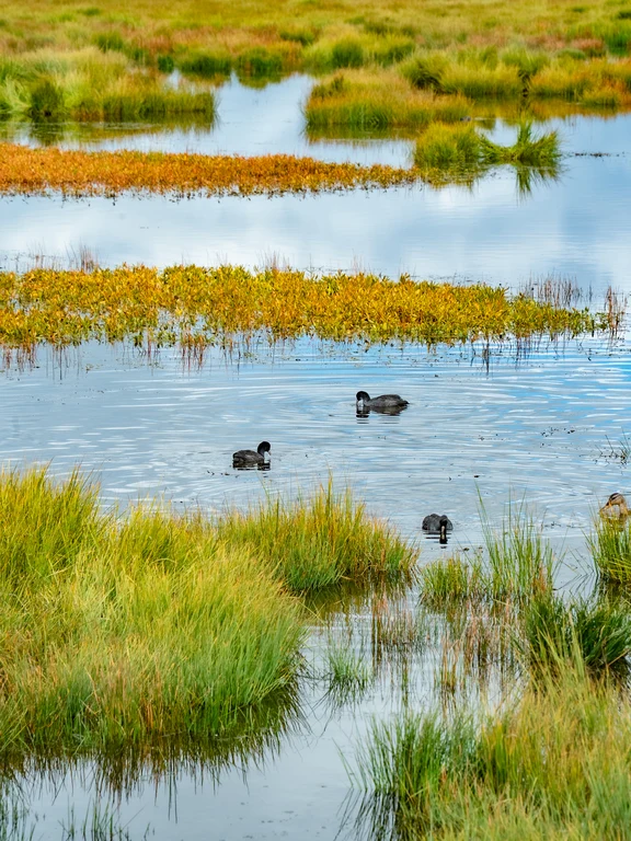
Ruoergai Wetland Open RouteZoige preserves peat wetlands, meandering streams, grasslands and bird habitats on the plateau. Open roads and boardwalks must be used as driving into meadows can compact peat, damage pasture and create rescue risks.
Explore Aba ↗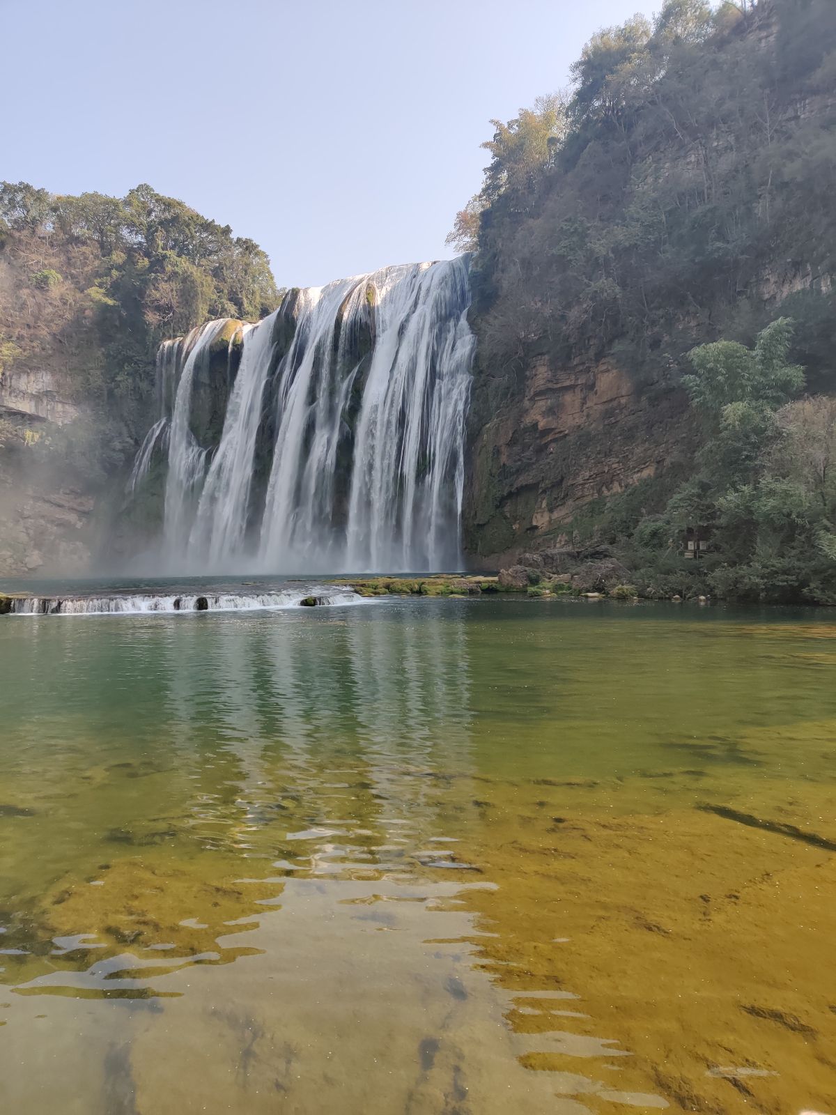 Anshun
黄果树瀑布
Huangguoshu WaterfallHuangguoshu Waterfall is located on the Baishui River near Anshun, Guizhou. According to the Ministry of Culture and Tourism, it is 77.8 meters high and 101 meters wide. There is a water curtain cave behind the waterfall. Different trails allow you to view waterfalls and karst mountains from multiple angles; some areas may be temporarily closed during heavy rainfall, so please check the scenic spot announcements before setting off.
Explore Anshun ↗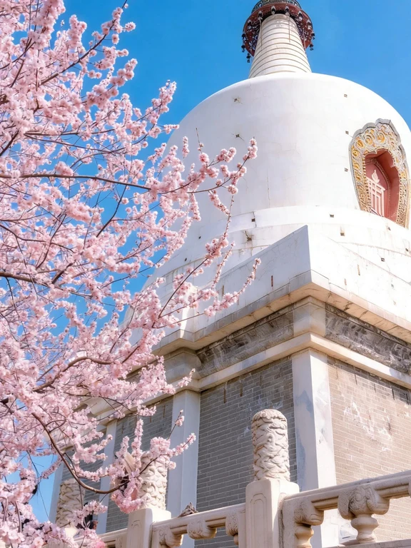 Beijing
北海公园
Beihai ParkBeihai Park is a royal garden with the lake as its core, located on the west side of Jingshan Mountain. Qionghua Island and the White Pagoda form the most recognizable landscape, while the painted corridors, temples, stacked stones and gardens on the north bank are suitable for leisurely exploration on foot. The water bodies, islands and borrowed scenery in the garden have been constructed through the ages to present a complete classical garden space.
Explore Beijing ↗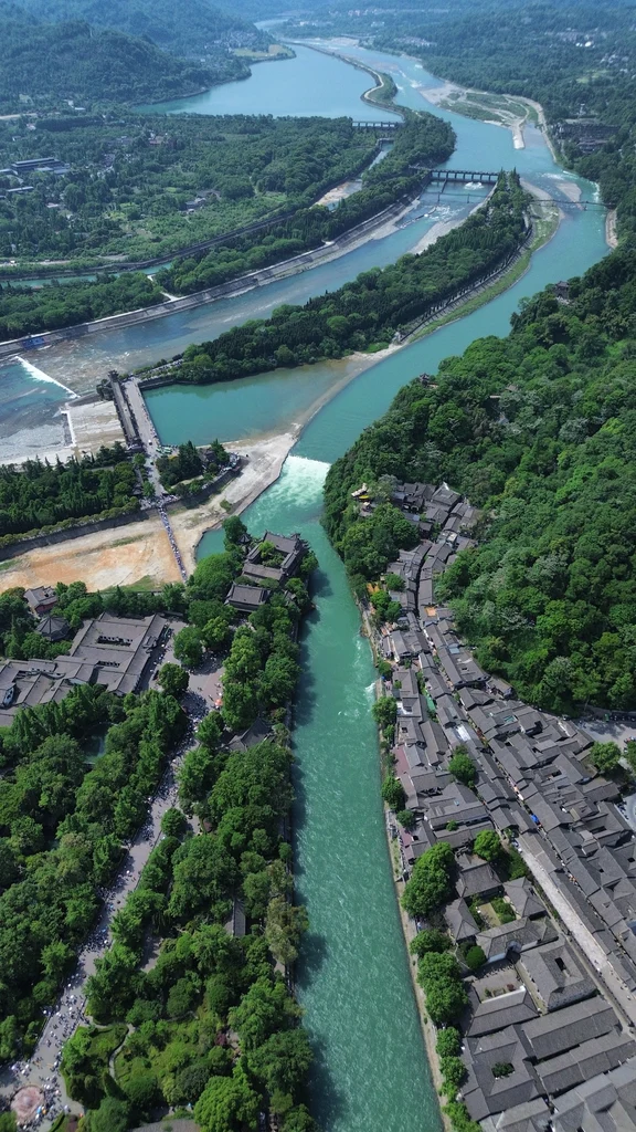 Chengdu
都江堰水利工程
Dujiangyan Irrigation SystemDujiangyan is a water conservancy system that was built in the third century BC and is still in operation today. It regulates the Min River and distributes water to the Chengdu Plain. Yuzui, Feishayan and Baopingkou show how to use topography, river channels and seasonal flows instead of traditional dams to achieve water diversion, sand discharge and flood control. The surrounding temples and mountain roads also retain the historical memories of those who controlled the water.
Explore Chengdu ↗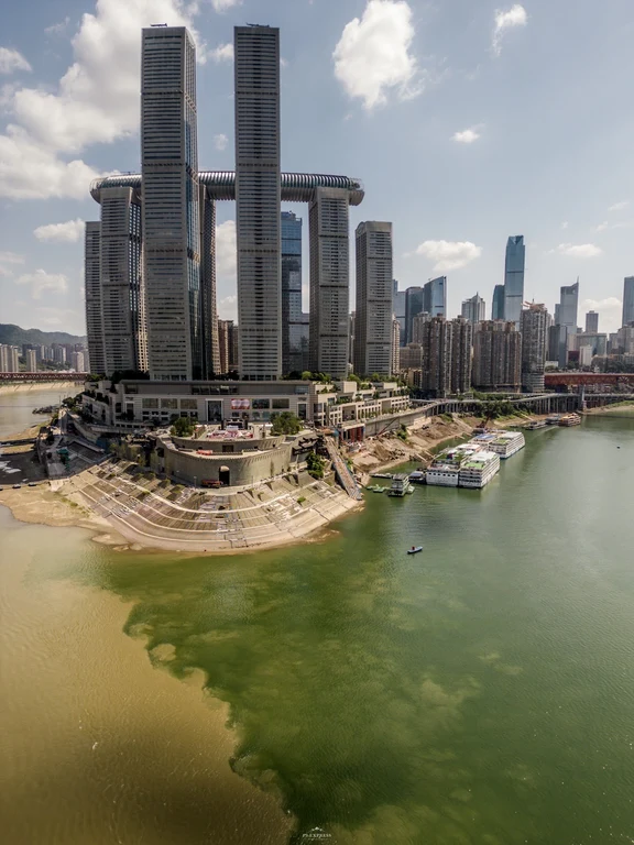 Chongqing
朝天门两江交汇
Chaotianmen River ConfluenceChaotianmen is located at the tip of the Yuzhong Peninsula, where the Jialing River merges into the Yangtze River. The confluence of two rivers, shipping, bridges and the steep urban area behind it all explain why Chongqing developed into a port and transportation center. Large modern buildings now redefine historical locations, and the contrast between geographical conditions and contemporary construction becomes part of the experience.
Explore Chongqing ↗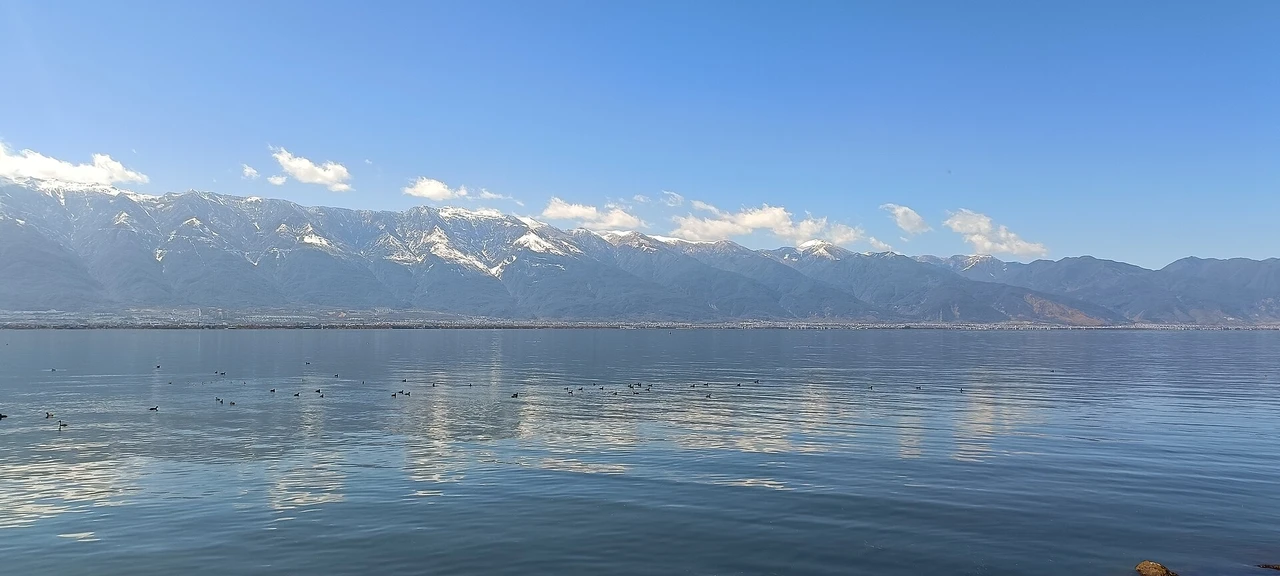 Dali
Dali洱海
Erhai Lake loopErhai Lake is the second largest plateau lake in Yunnan, located in the north of Dali City. It is named because it looks like a human ear and is the location of the "moon" in "Wind, Flowers, Snow and Moon". The lake is about 1972 meters above sea level. The nineteen peaks of Cangshan Mountain are reflected in the lake, forming a classic scene of "Snow on Cangshan Mountain and Moon on Erhai Lake". Dotted around the lake are Longchun Wharf, Fengxi S Bay, Covered Bridge, Shuanglang Ancient Town, Wenbi Village and other internet celebrity spots. There are ecological corridors in Haixi (motor vehicles are not allowed), and the scattered scenic spots in Haidong are more suitable for self-driving.
Explore Dali ↗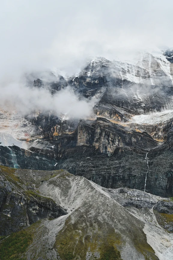 Daocheng
稻城亚丁
Yading Nature ReserveDaocheng Yading protects the ecology of high-altitude snow mountains, glacial lakes, forests and meadows, and also carries the local sacred geography. Popular routes still face lack of oxygen, strong ultraviolet rays and rapid weather changes. Visitors must use open connections and trails and not cross the line to approach the ice body or close the lake shore.
Explore Daocheng ↗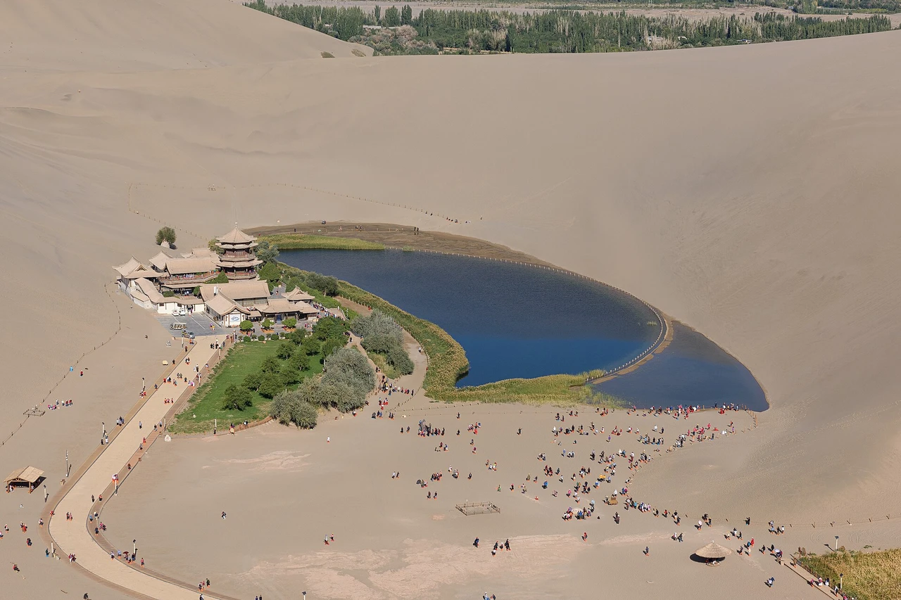 Dunhuang
鸣沙山月牙泉
Mingsha Mountain and Crescent LakeMingsha Mountain Crescent Spring is located about 5 kilometers south of Dunhuang City. The sand mountains surround the crescent spring. The sand and springs have coexisted for thousands of years and are known as "the most beautiful scenery outside the Great Wall". The highlights are: Crescent Moon Spring: a crescent-shaped spring in the desert. The Yuequan Pavilion beside the spring stands next to the water, which is the soul of the scenic spot. Mingsha Mountain: Climb the sand mountain to the top for a panoramic view of the Crescent Spring, and watch the sunset in the desert in the evening. This is the best filming location.
Explore Dunhuang ↗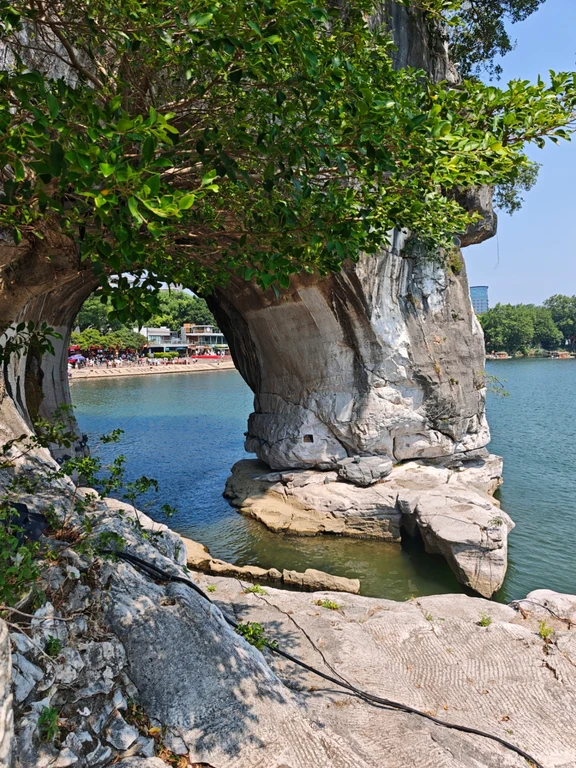 Guilin
象鼻山
Elephant Trunk HillElephant Trunk Hill is located where the Taohua River merges into the Li River. The entrance to the waterfront forms an outline that resembles an elephant drinking water, and has long been a symbol of Guilin. Shuiyue Cave, the inscriptions of past dynasties and the Ming Dynasty Puxian Pagoda on the top of the mountain add a humanistic layer to the compact peak; observing the overall landscape from the surrounding river banks is usually clearer than just rushing up the mountain.
Explore Guilin ↗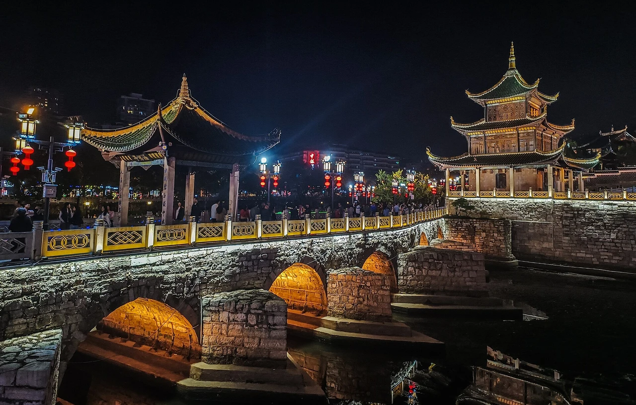 Guiyang
甲秀楼
Jiaxiu TowerJiaxiu Tower was built in the 26th year of Wanli in the Ming Dynasty (1598). It is located on the Aoji Rock in the Nanming River. It means "Kejia Tingxiu". It is a Guiyang city landmark and a national key cultural relics protection unit. It is a three-story wooden structure with three eaves and four corners and a pointed roof, about 20 meters high. The floating jade bridge connects the two sides of the bank, with Bitan under the bridge. The Cuiwei Garden on the south side is a Ming Dynasty garden. There are 206 long couplets hidden in the building. Guizhou talents emerged in large numbers during the Ming and Qing dynasties.
Explore Guiyang ↗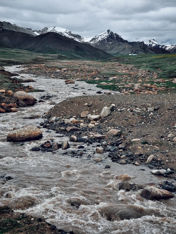 Golog
Golog黄河源开放科普区域
Yellow River Source Authorised AreaThe Zhaling Lake-Eling Lake system is a key area in the upper reaches of the Yellow River in Sanjiangyuan National Park. The core area is not an ordinary tourist destination. Only approved routes and currently open science areas can be used. Wetland and wildlife protection takes priority over sightseeing.
Explore Golog ↗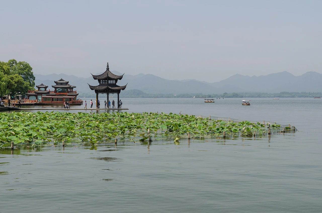 Hangzhou
西湖
West LakeWest Lake is a cultural landscape shaped by water, wooded hills, causeways, islands, gardens, temples and carefully framed views. Over centuries, poets, officials and builders developed its celebrated scenic sites, influencing garden design elsewhere in China and in Japan and Korea. Take time to experience the relationship between landscape and culture rather than rushing around the lake in one loop.
Explore Hangzhou ↗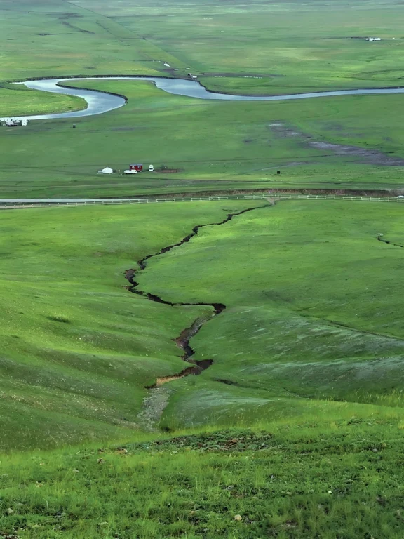 Hulunbuir
莫尔格勒河草原
Morigele River GrasslandThe Morgrad River meanders through vast meadow grasslands, its appearance changing with precipitation, grazing and the seasons. From the formal viewing point, you can see the meanders of the river and the scale of the grassland. In addition to the tourist facilities, animal husbandry production and Mongolian cultural life continue. Designated routes must be used: ruts can compact soil, cut vegetation, and disturb livestock, and no photos will justify trespassing on the prairie.
Explore Hulunbuir ↗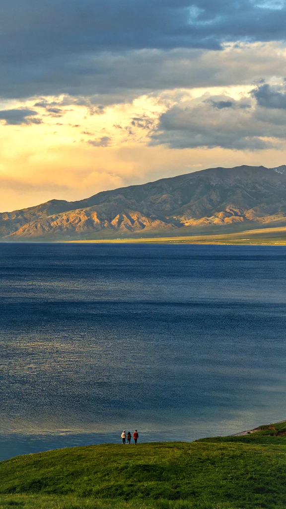 Ili
Ili赛里木湖
Sayram LakeSailimu Lake is located in the alpine basin of the western section of the Tianshan Mountains. Lakes, grasslands, wetlands and seasonal ice and snow together form a complete ecological landscape. The roads around the lake and open areas are adjusted according to protection and weather conditions. Visitors should park at designated locations and not drive into meadows. The flowering period, lake color or the appearance of swans should not be regarded as a guarantee.
Explore Ili ↗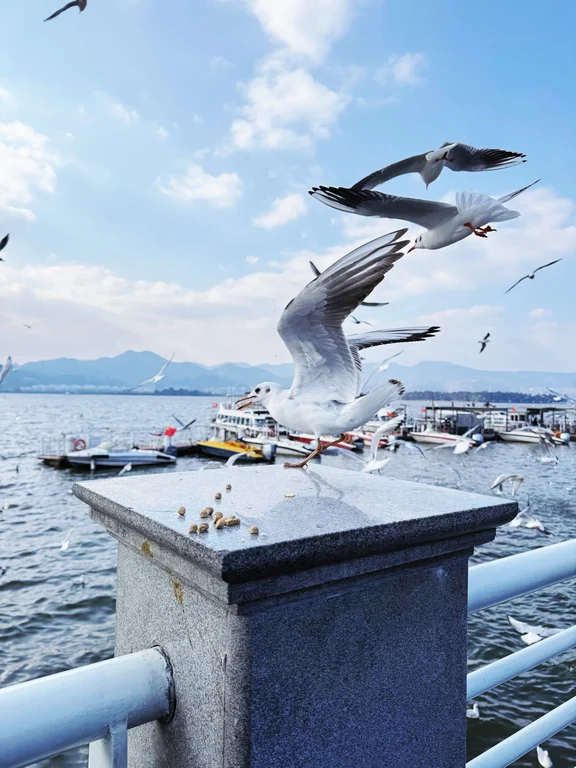 Kunming
滇池海埂片区
Dianchi Lake and HaigengDianchi Lake is a large plateau lake that defines the southern edge of Kunming, and the sea ridge provides convenient lakeside trails and views of the Western Mountains. Wetlands, winter red-billed gulls, and ongoing ecological restoration indicate that this is a real watershed that is still being managed, rather than a static background; the access and ecological conditions of different lakeshore parks are also different.
Explore Kunming ↗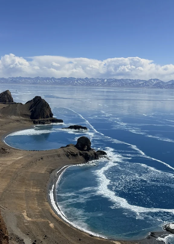 Lhasa
Lhasa纳木错
NamtsoNamtso is a high-altitude holy lake and fragile wetland. It is far away from Lhasa and cannot be used as an easy outing on the first day to adapt to the altitude. Roads, lakeshore access and weather can change quickly; use proper traffic, stay in open areas, and avoid hazards from high altitude, strong winds and cold temperatures.
Explore Lhasa ↗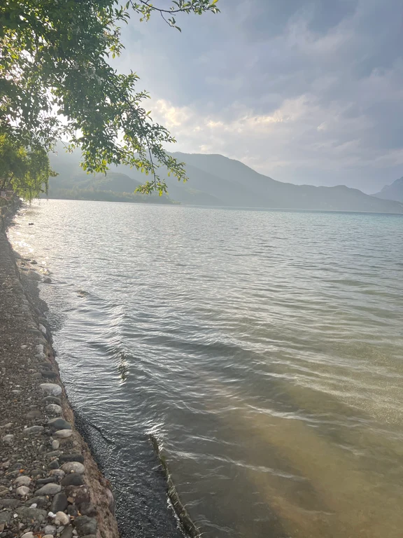 Lijiang
泸沽湖
Lugu LakeLugu Lake is a plateau lake shared by Yunnan and Sichuan. Peninsulas, forest ridges, and communities such as Mosuo are located around the lake. Local culture cannot be reduced to a single vision of matrilineal life, family structures, rituals, and tourism economies are all more complex. The long road distance, elevation, and cross-province management differences make it a stand-alone multi-day destination rather than a drop-in attraction in Lijiang city.
Explore Lijiang ↗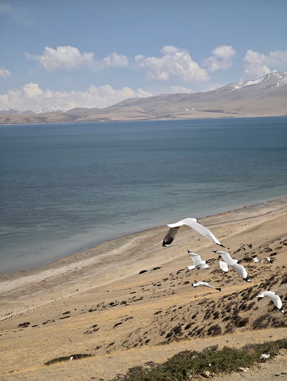 Ngari
Ngari玛旁雍错
Lake ManasarovarManasarovar is a plateau holy lake in a fragile wetland and pilgrimage landscape. Lakeshore access, wildlife protection and road controls are subject to change, and sacred significance does not permit launching, off-road driving, or leaving trash behind.
Explore Ngari ↗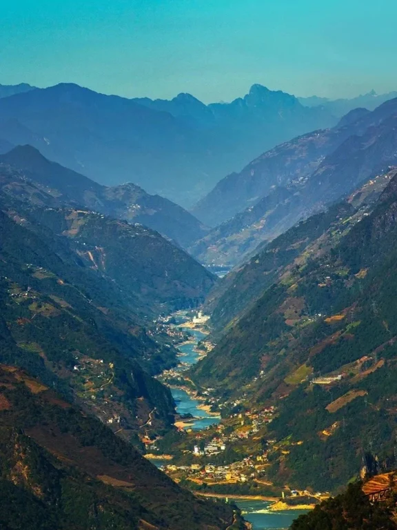 Nujiang
怒江大峡谷
Nujiang Grand CanyonThe Nujiang Grand Canyon is a real transportation and community corridor along a long river and mountains, not a single observation deck. The risks of landslides, rockfalls and mudslides are prominent during the rainy season. Roads should be confirmed section by section, avoid driving at night and climbing along rivers, and respect villages, farmland and religious spaces.
Explore Nujiang ↗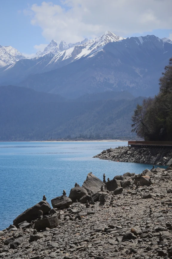 Nyingchi
巴松措
Basongcuo LakeBasongcuo is an alpine glacier lake surrounded by forests, villages and ridges. Tashi Island and Cuozong Temple form part of the living sacred landscape. Regular tours only show a portion of the larger valley and trail system. Water bodies, forests and settlements should be understood together: the lake is not an isolated postcard, nor are the islands, temples and villages in the center of the lake a backdrop that can be photographed without restrictions.
Explore Nyingchi ↗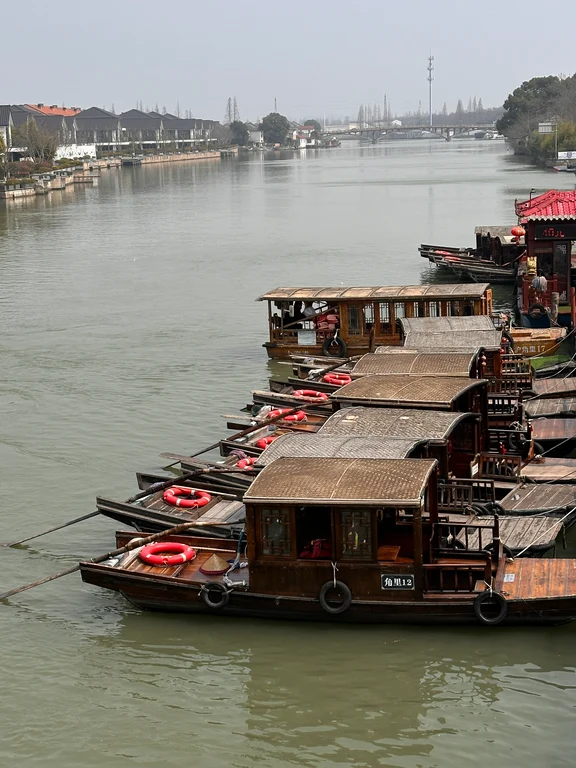 Shanghai
朱家角古镇
Zhujiajiao Ancient TownZhujiajiao is located in the west of Shanghai and is a water town in the south of the Yangtze River that still retains a sense of life. The river network, stone bridges, waterside dwellings and streets and lanes form a completely different scale from that of the central city. Fangsheng Bridge is the most representative, but Quiet Alley, Kezhi Garden and water perspective can better present the complete structure of the water town settlement.
Explore Shanghai ↗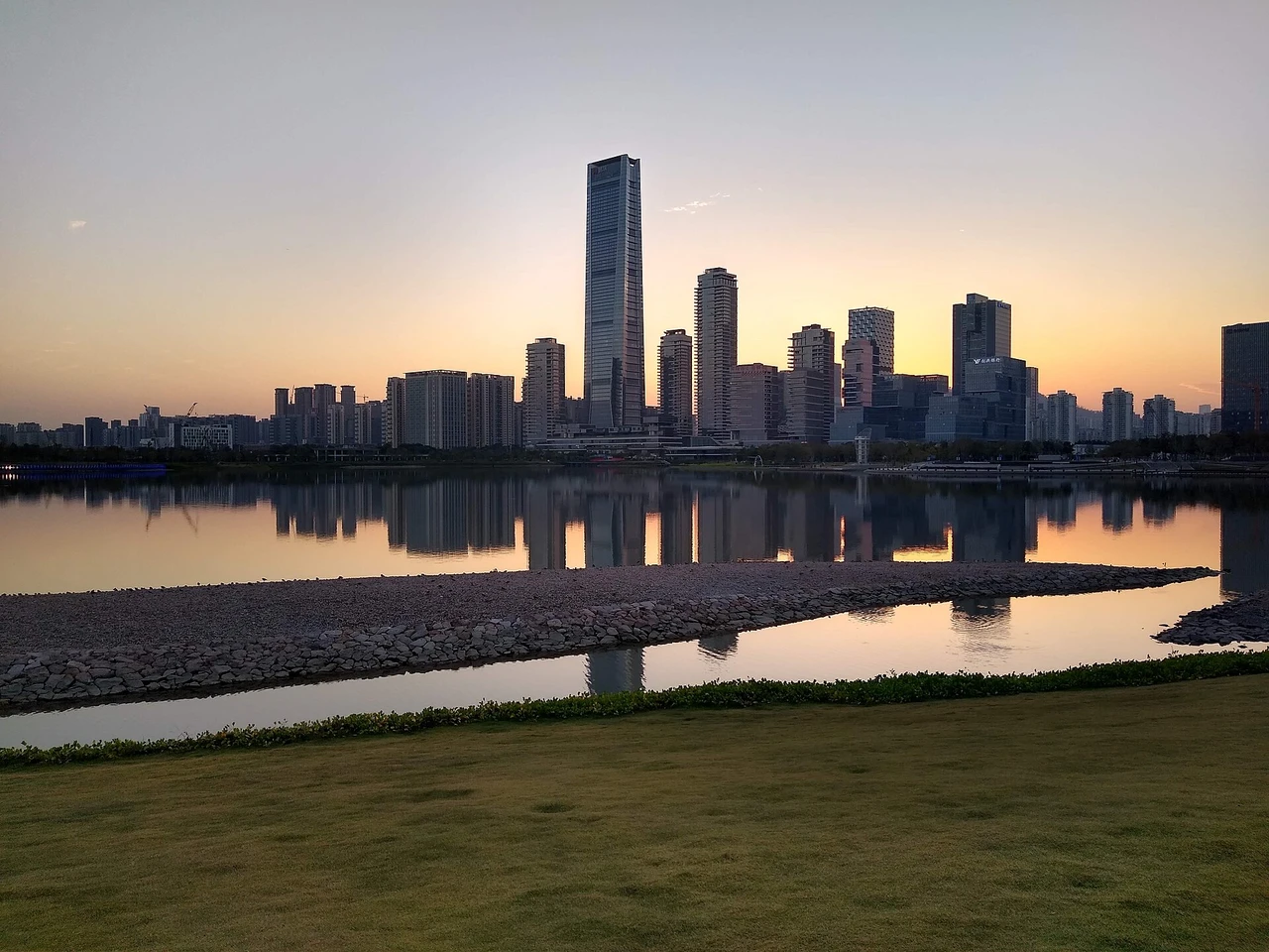 Shenzhen
深圳湾公园
Shenzhen Bay ParkThis long-distance waterfront park combines recreation and urban vistas with ecological buffers alongside protected mangroves and tidal flats. Cold-season migratory waterbirds use Shenzhen Bay as a stopover along the East Asian-Australasian Flyway. Public trails do not equate to free access to nature reserves; responsible observation requires keeping a distance, lowering the volume, and allowing birds to feed without interruption.
Explore Shenzhen ↗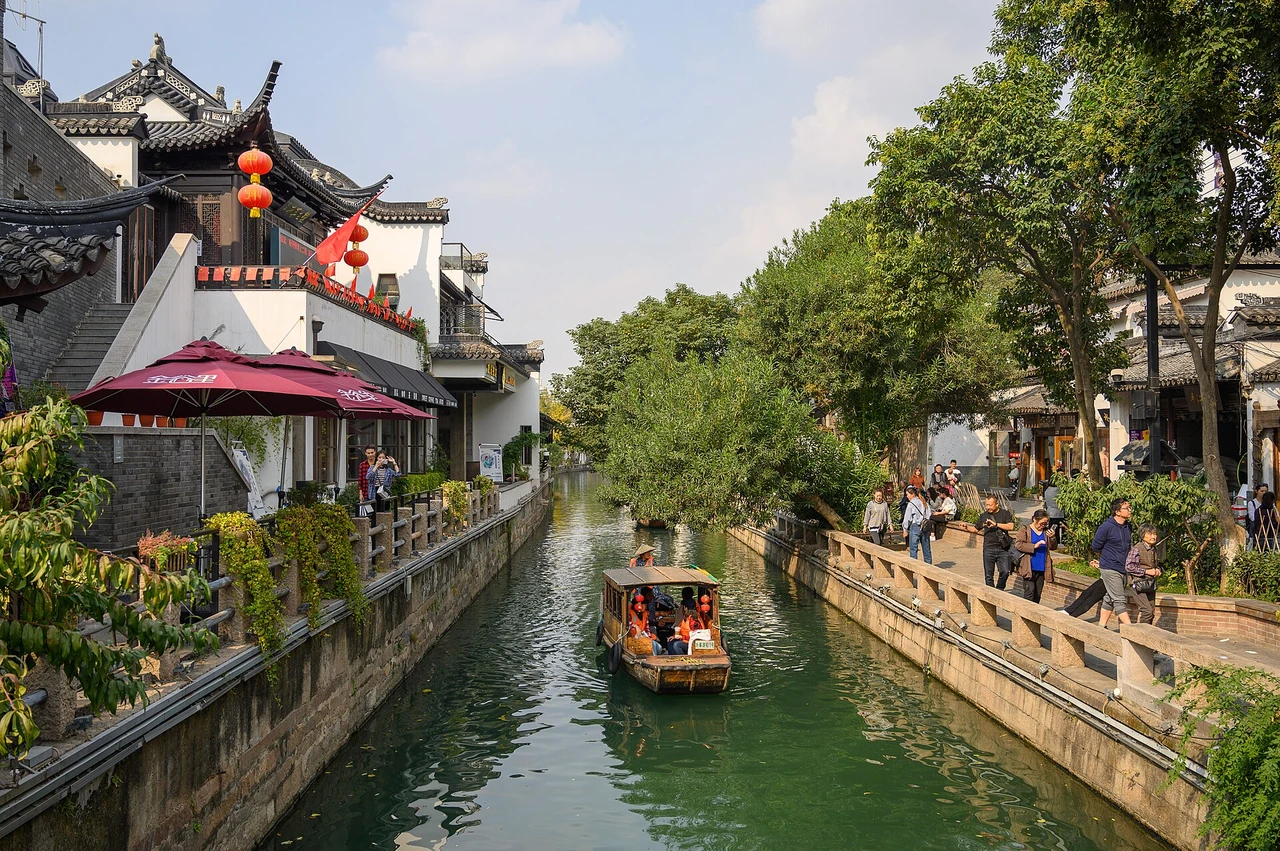 Suzhou
平江路
Pingjiang RoadPingjiang Road runs along the river through the relatively well-preserved old city area of Suzhou. Narrow bridges, laneways, courtyard houses, small museums and residents' lives continue the parallel relationship between streets and rivers in the historical map. The main road is obviously commercialized, but the urban fabric that is quieter and continues to be used as a community can still be seen in the branch lanes.
Explore Suzhou ↗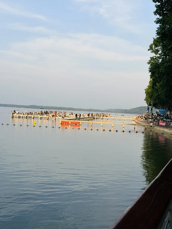 Wuhan
Wuhan武汉东湖
Wuhan East LakeEast Lake is a vast urban lake system with many kilometers of greenways, wetlands, woodland peninsulas, gardens and university boundaries. Tingtao, Moshan and Luoyan areas have different landscapes and entrances, and it is impossible to cover them all in one casual walk; they are not only ecological habitats and urban water environment infrastructure, but also Wuhan's main leisure landscape.
Explore Wuhan ↗